

The National Hurricane Center says Hurricane Polo is intensifying fast and could become a major hurricane as it nears southwest Mexico this week.
Story Highlights
- Hurricane Polo is strengthening and is forecast to reach major status this week.
- Heavy rain could trigger life-threatening floods and mudslides in southwest Mexico.
- A Tropical Storm Watch is in effect for parts of Mexico’s southwest coast.
- Large swells and rip currents could reach Baja and later Southern California beaches.
Official Forecast: Rapid Strengthening Near Mexico
The National Hurricane Center reported that Polo is gaining strength over the eastern Pacific and is expected to become a major hurricane on Tuesday. Forecast guidance shows the storm tracking west-northwest, closer to Mexico’s southwest coast during the next few days. The Center’s discussion projected high winds at short range, with guidance showing the storm’s core near or south of coastal states like Michoacán and Guerrero later this week. Forecasters warned that confidence in exact track remains limited.
The National Hurricane Center issued a Tropical Storm Watch for portions of southwestern Mexico, signaling the risk of tropical-storm-force winds along parts of the coast. Watches can advance to warnings if the storm nears the shoreline or strengthens as predicted. Officials highlighted that while the hurricane’s center may stay offshore, strong winds, rough seas, and dangerous surf can extend far from the core. Authorities urged coastal communities to monitor local alerts and prepare for shifting conditions.
Flooding and Mudslide Risk From Heavy Rain
Forecasters said heavy rainfall tied to Polo could hit coastal southwest Mexico through Thursday, with a real risk of life-threatening floods and mudslides, especially in steep terrain. Recent Pacific systems have shown that rain bands can cause major impacts even when the center stays offshore. Residents in flood-prone areas were urged to clear drains, avoid low crossings, and plan for possible evacuations. Rainfall amounts and timing will depend on the storm’s exact track and speed.
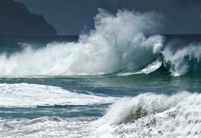
Large swells from Polo are likely to spread north along Mexico’s west coast and into the Baja California Peninsula later in the week, raising the risk of dangerous rip currents and high surf. If the swell field grows, Southern California beaches could see stronger rip currents and sets after Baja, even without a direct hit. Local National Weather Service offices typically issue surf and beach hazard alerts as swells arrive, so beachgoers should watch for those updates.
Why Forecasts Sound Careful but Urgent
The National Hurricane Center designs forecasts to be clear about risk but honest about uncertainty. The agency evaluates track and intensity accuracy after each season, using a best-track review to compare what was forecast and what happened. That is why the current Polo guidance warns of severe rain and surf while still noting that the core is most likely to remain offshore. For people on the coast, the practical message is simple: plan for rain, wind, and rough water, and check local alerts often.
Polo now a Category 1 hurricane, expected to strengthen and fuel Southwest flood threat amid active Pacific https://t.co/9nQbIYebuP #FoxWeather
— Todd Haines (@Skytodd73) September 22, 2026
The eastern North Pacific hurricane season runs from mid-May through November, which means communities and travelers should keep hurricane plans ready into late fall. For now, the greatest confirmed risk is in southwest Mexico from heavy rain, flooding, mudslides, and strong surf. Even if Southern California avoids direct wind or rain, rip currents can become deadly fast. Families, surfers, and boaters should use caution, follow lifeguard advice, and avoid venturing into rough water as the swell builds.
Sources:
nypost.com, nhc.noaa.gov, wsoctv.com